Using Airborne Dispersion Models in Planning a Response
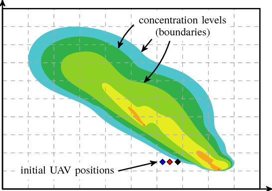
A broad range of electronic resources are available to emergency responders and increasingly used in the Incident Commander structure to understand hazards and plan a response. In this exercise you will access some of these tools for hazard assessment, use a model to predict geographical areas that will be affected by the release and plan a response.
Objectives
- Access electronic tools for risk assessment information.
- Identify the geographical region where there may be an impact from the release.
- Plan a response
DOWNLOADS
Category:
Emergency Response
Sub-Categories:

